States
10 Things You Never Knew About U.S. State Borders
A map can only tell you so much. What it doesn’t show is the fights and odd decisions that shaped state borders. Some states switched sides, others lost land to shifting rivers, and a few have invisible boundaries. Let’s uncover the weird side of U.S. geography.
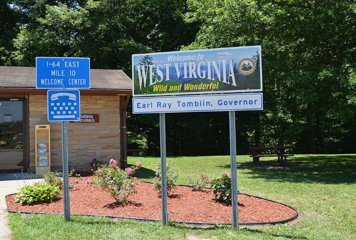
The State That Switched Sides
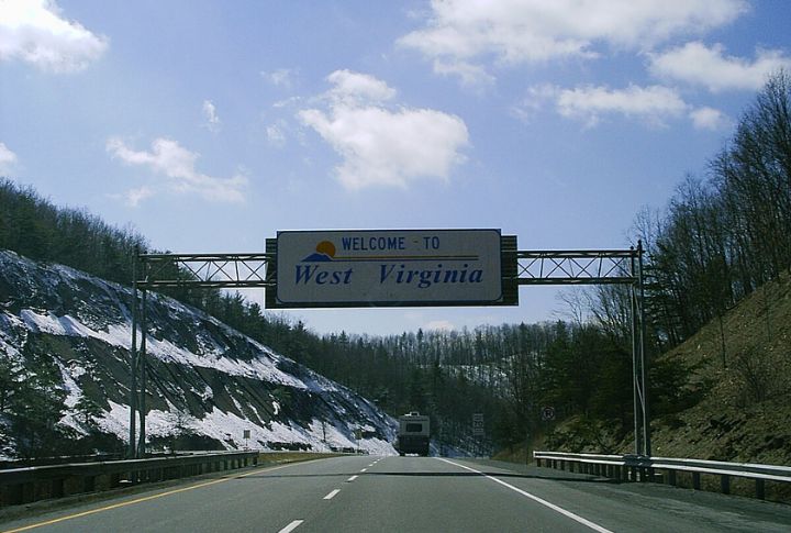
Loyalty is tricky, especially for a state caught between rival claims. Virginia used to be a lot bigger until West Virginia split off in 1863. The Civil War forced counties to choose sides, and some didn’t agree with their state’s decision. This led to an awkward, history-defining border shift that still sparks debate.
A Border Dispute That Lasted Centuries
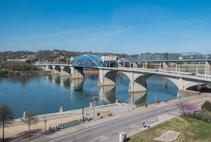
Lines on a map seem final, but some took forever to settle. The feud between Georgia and Tennessee over their shared border has dragged on since the 1800s. Georgia even tried to reclaim a strip of Tennessee land in 2008. The fight isn’t just about pride; it’s about access to the Tennessee River.
The Only State Border That Moves
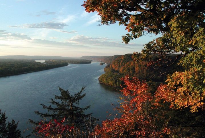
Most borders are set in stone. This one isn’t. The Mississippi River has changed course so many times that the Arkansas-Mississippi border had to adjust with it. Some towns found themselves in a different state overnight. The land stayed the same, but their address and sometimes their taxes suddenly changed.
Some State Borders Are Crooked
Not all borders follow natural features. Some are oddly jagged due to mistakes or old surveying tools that weren’t as precise as today’s GPS. So, the Oklahoma-Texas border has strange twists because early maps were inaccurate. What was supposed to be a straight line ended up looking like someone drew it in a hurry.
The River That Changed A State Line
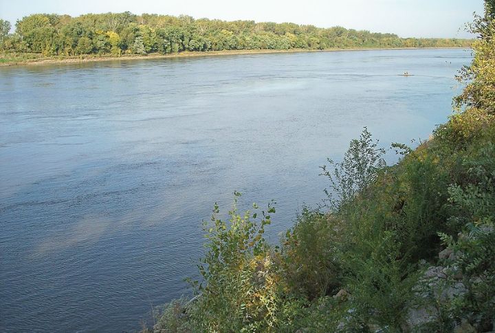
Water doesn’t stay still, and sometimes, neither do borders. The Missouri River has carved away at Nebraska’s land for years, pushing its border into Iowa. One town woke up to find that, legally, they were suddenly Iowans. Geography keeps changing, but the law takes a while to catch up.
The Tiny Town In Two States
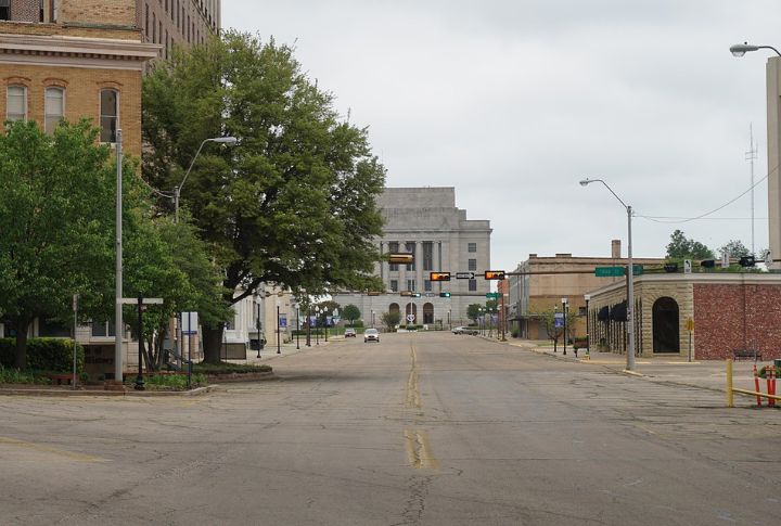
A trip across state lines usually takes minutes. In Texarkana, it takes a single step. The city straddles Texas and Arkansas to split neighborhoods, businesses, and even government buildings between the two states. Some residents pay taxes in one state and work in another without ever leaving town.
A Surveying Mistake Created Chaos
Measuring land wasn’t easy, especially in the 1700s. The Ohio-Michigan border was nearly the site of a war because early maps were off by a few miles. Both states claimed the Toledo Strip, and tensions boiled over into the brief but heated Toledo War. The result? Ohio got the land, and Michigan got the Upper Peninsula as compensation.
The Mystery Of A Missing Border
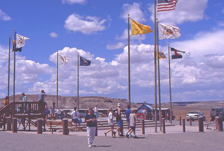
One state border is so faint it might as well be invisible. The Four Corners region, in which Utah, Colorado, Arizona, and New Mexico meet, isn’t exactly where it was meant to be. Surveying errors placed the official marker slightly off, meaning the famous tourist spot might not be the true intersection of all four states.
The Border Drawn To Avoid A War
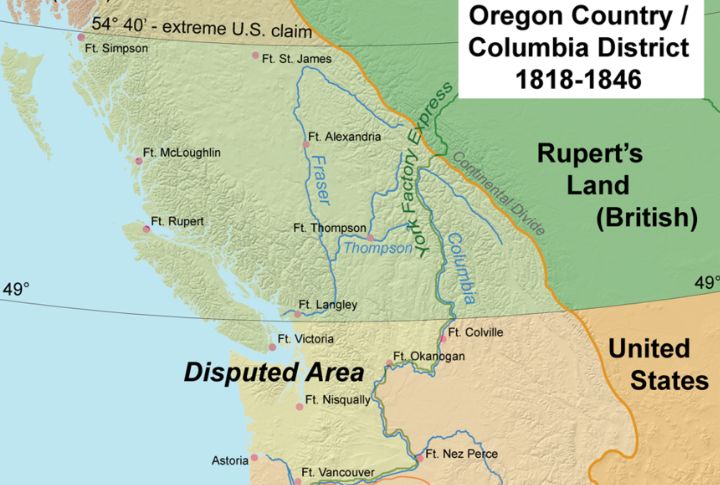
The Oregon Treaty of 1846 settled a brewing fight between the U.S. and Britain over the Pacific Northwest. The U.S. got what is now Washington and Oregon, while Britain kept British Columbia. One line on a map prevented a full-blown war over land no one had fully explored yet.
The Strangest Tri-State Meeting Point
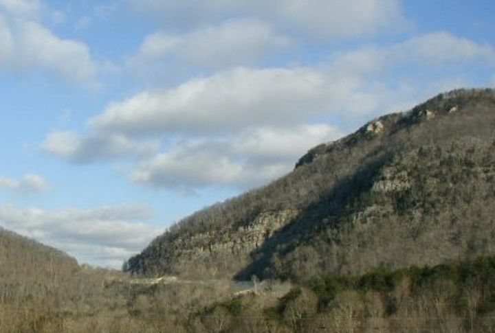
Three states, one odd intersection. The place where Kentucky, Tennessee, and Virginia meet is a mix of legal quirks. The border runs through the Cumberland Gap, once a vital route for pioneers. Today, standing there means being in three states at once, with no passport required.