States
10 American States That Are Almost Entirely Flat
Not all parts of America are rugged and mountainous. Some states offer miles of level land where the scenery barely shifts and the roads run arrow-straight. These flatlands hold more than meets the eye, especially if you’ve ever driven them without noticing a single incline.
Florida
Florida’s Britton Hill tops out at only 345 feet, making it the nation’s lowest high point. Over 60% of the state sits under 100 feet, and much of South Florida hovers just above sea level. Hills? You won’t find many. That flat terrain even helps forecast hurricane surges.
Louisiana
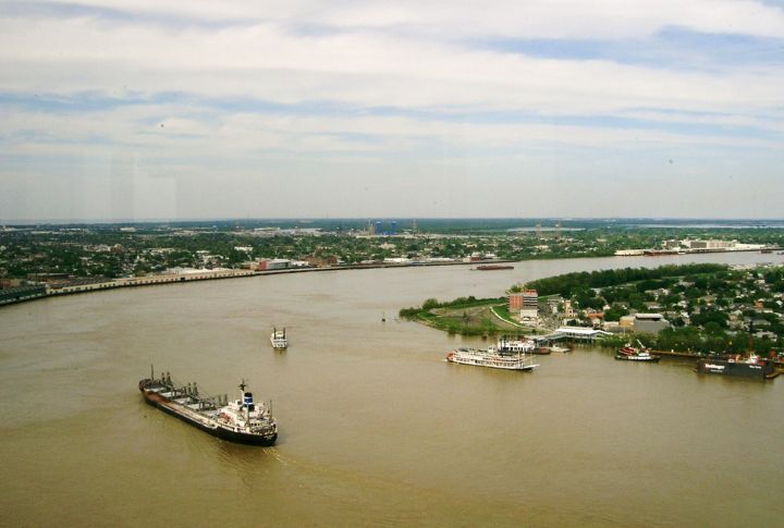
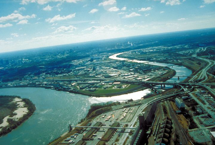
Louisiana’s average elevation stands at just 100 feet, with New Orleans sitting mostly below sea level. Flat terrain across the state leads to frequent flooding, so swamps and bayous dominate. Certain roads sit right atop the water, a result of minimal land elevation in the area.
Illinois
Glaciers from the Ice Age flattened most of Illinois, leaving it with an average elevation of just 600 feet. Wind farms thrive here, and it’s ideal terrain for cyclists and farmers alike. While southern parts get slightly hilly, much of the state remains prairie-flat.
Minnesota
Western and southern Minnesota are extremely flat thanks to the ancient glacial Lake Agassiz. Prairie stretches go on for miles without any elevation change. Known as the “Land of 10,000 Lakes,” the state offers clear views that attract avid storm chasers.
North Dakota
More than 85% of North Dakota stretches into flat farmland and rolling prairie, especially in the eastern Red River Valley—one of North America’s flattest zones. With unbroken skies and grain elevators visible 20 miles out, the land feels like it goes on forever.
Texas
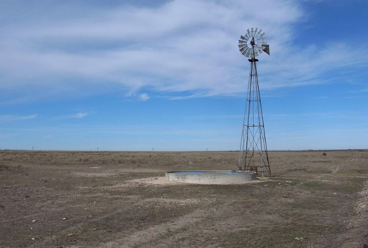
The Llano Estacado ranks among North America’s largest and flattest plateaus, with almost no trees or terrain variation. Water towers are visible from over 10 miles away, highways appear endless, and even ranch fences run in ruler-straight lines.
Indiana
Locals often joke that a speed bump counts as a hill here. Indiana’s northern and central regions owe their flatness to ancient glaciation, with an average elevation of around 700 feet. Glacial till plains stretch far and wide, creating prime land for corn and soybeans.
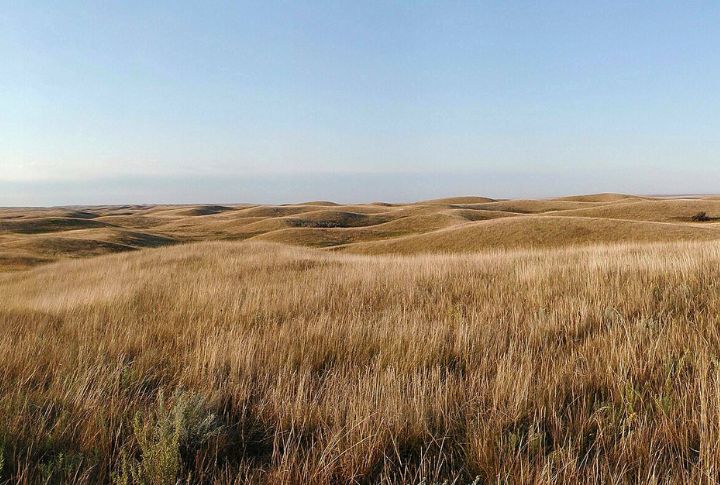
Kansas
A 2003 study by geographer John J. Snyder confirmed that western Kansas is literally flatter than a pancake. The elevation barely changes across hundreds of miles. In fact, the state’s uninterrupted wheat fields and consistent terrain make it ideal for testing equipment.
Delaware
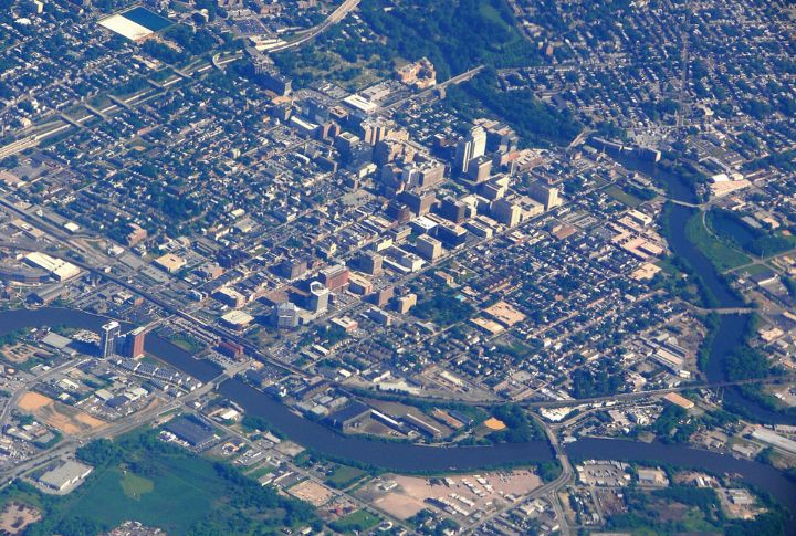
With a mean elevation of only 60 feet, Delaware ranks as the nation’s second-lowest state. Its Coastal Plain covers almost everything, and no natural rise exceeds 450 feet. The flatness supports tidal wetlands, and in some places, it’s possible to see across entire counties.
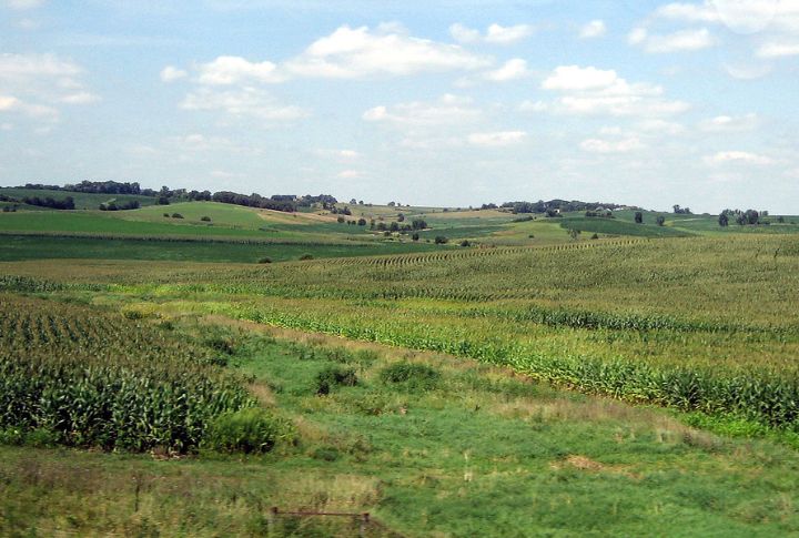
Iowa
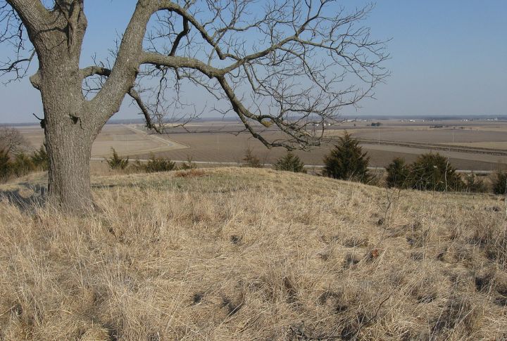
Though often pictured as hilly, Iowa’s northwest and central areas are notably flat thanks to glacial drift plains and river valleys. Crop rows run arrow straight for miles, and the smooth terrain has made it a popular spot for wind turbines.