States
10 Disappearing Rivers Across The United States
Some rivers don’t just flow—they disappear. One minute, they’re babbling along; the next, they’re swallowed by rock, soil, or lava fields. These curious waterways rewrite the rules of the landscape. Ready to follow the trail of rivers that play hide-and-seek with the Earth? Keep scrolling!
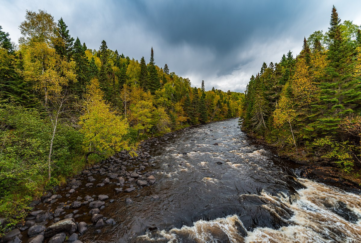
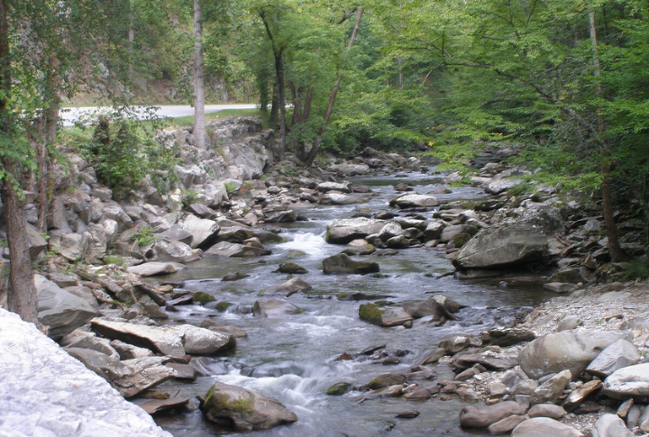
Lost River, Indiana
At certain points, the Lost River emerges briefly above ground before disappearing into Indiana’s karst terrain, land shaped by the slow erosion of soft limestone. After sinking underground, it travels through a vast network of caves and tunnels. Scientists still study the river’s underground course because it’s hard to map fully.
Santa Cruz River, Arizona
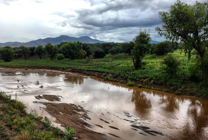
Once a perennial waterway, the Santa Cruz River now often dries up or sinks into the desert soil due to groundwater pumping and evaporation. Its water mostly shows up after heavy rain or when treated wastewater is released. This river highlights how fragile desert waterways can be.
Alapaha River, Georgia
Locals call it the “River of Disappearing Waters”. During dry spells, the Alapaha River disappears into big sinkholes called “blue holes.” The water then travels miles underground before reappearing elsewhere, and this journey also helps recharge the area’s groundwater supplies.
Brule River, Minnesota
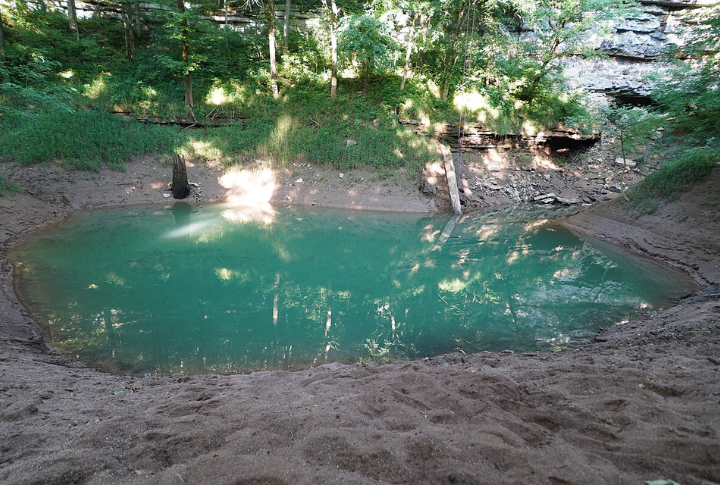
The Brule River splits at Devil’s Kettle waterfall; one branch continues downstream while the other plunges into a deep pothole. Tests with dye tracing confirmed that the water rejoins the river later; however, the exact underground route remains unknown.
Big Lost River, Idaho
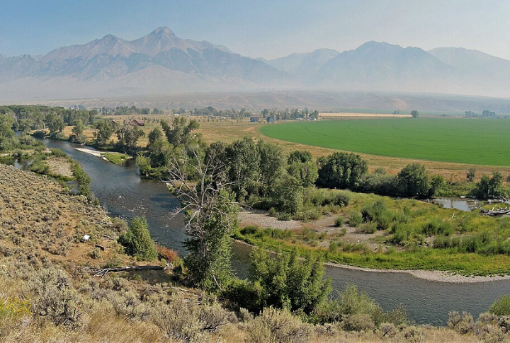
After carving its path through Idaho’s valleys, the Big Lost River suddenly slips beneath the surface, vanishing into the volcanic terrain of the Snake River Plain. Its waters filter through porous lava rock to recharge the Snake River Aquifer, quietly supporting the region’s water needs.
Mojave River, California
The Mojave River in California rarely flows visibly on the surface. Instead, it seeps into the desert soil and travels underground for most of its course. It only emerges in specific locations such as Afton Canyon, making it a prime example of a mostly hidden desert river system in an arid environment.
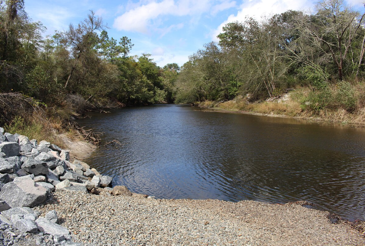
Santa Fe River, Florida
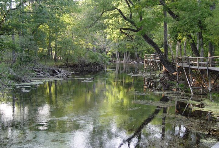
At O’Leno State Park, the Santa Fe River flows straight into a huge sinkhole. The water then moves underground for about three miles before it resurfaces at River Rise Preserve. Florida’s karst terrain allows rivers to shift between surface flow and underground channels, which creates a dynamic and unpredictable water system.
Little River, Kentucky
As it enters Mammoth Cave National Park, the Little River transitions from surface stream to subterranean flow. It navigates one of the world’s most complex karst systems, offering researchers a rare look into aquifer dynamics and limestone erosion within the planet’s longest-known cave network.
Greenbrier River, West Virginia
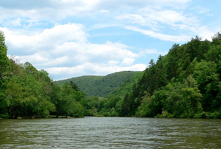
Flowing through one of the densest sinkhole regions in the U.S., the Greenbrier River sometimes vanishes into underground channels carved by the Greenbrier Limestone. These hidden flows affect water quality and need constant monitoring to fully understand their environmental impact.
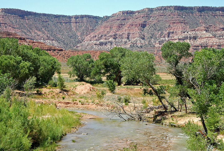
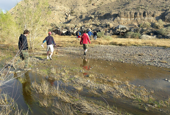
Virgin River, Utah
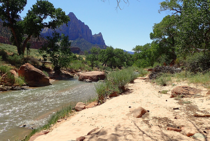
A sinkhole near Pah Tempe Hot Springs opened in 1985, swallowing a two-mile stretch of the Virgin River. After flowing briefly, the river disappeared underground for more than two months. This rare occurrence was caused by limestone dissolution and shows how vulnerable rivers are in karst regions.