History
The Story Behind The Split Between North And South Dakota
Do you ever wonder why the map shows not just Dakota but two rival siblings? The answer runs deeper than geography. It’s a tale of politics and a push for control in young America. These ten surprising insights reveal the real story behind the double Dakotas you rarely hear in school.
Congress Split The Dakota Territory In 1889
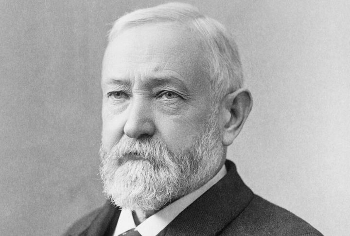
North and South Dakota entered the Union on the same day in November, but President Benjamin Harrison deliberately shuffled the paperwork. So, no one knows which state technically came first. The split was no accident; it gave Republicans twice the Senate seats without needing new territory.
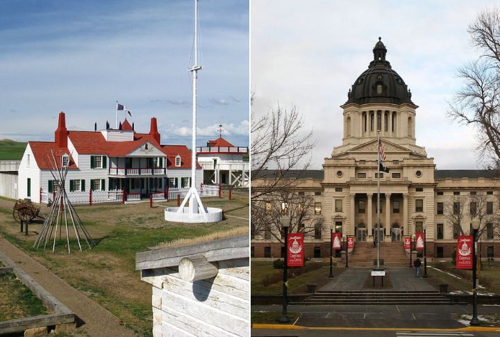
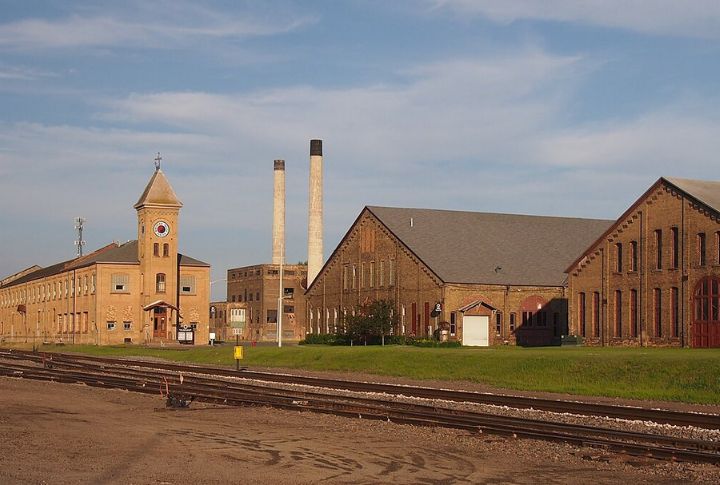
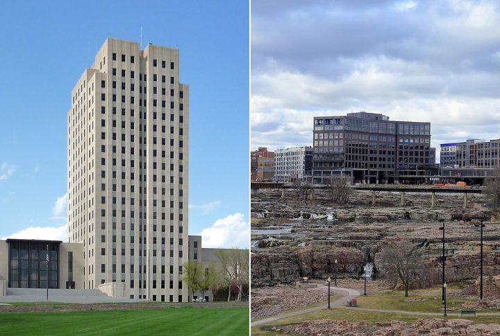
Rival Capitals Fueled The Divide
The capital originally sat in Yankton, but in 1883, it relocated north to Bismarck, upsetting leaders from the southern part of the state. That one decision sparked serious resentment. Both sides began pushing for independent control, and the growing rivalry eventually provided Congress with a reason to consider splitting the territory permanently.
Population Boomed Unevenly
Thanks to better rail access, North Dakota’s population swelled faster than South Dakota’s after 1870. Immigrants often settled in the north, while the south grew at a slower pace. By the time of statehood, the census data revealed a significant imbalance, bolstering the case for separation.
Railroads Deepened The Split
The Northern Pacific Railroad chugged through northern towns, boosting growth and opportunity. Southern settlements felt bypassed and bitter. As commerce boomed up north and stalled in the south, locals realized they were no longer rowing the same boat. The tracks didn’t just move goods; they carved lines.
Two Dakotas Mean More Senate Power

Four Republican Senate seats were better than two, and Congress knew it. Since both regions leaned red, splitting them doubled the party’s leverage. It wasn’t about geography or harmony; it was a savvy move to tilt the political board in favor of the GOP.
Religious Differences Emerged Early
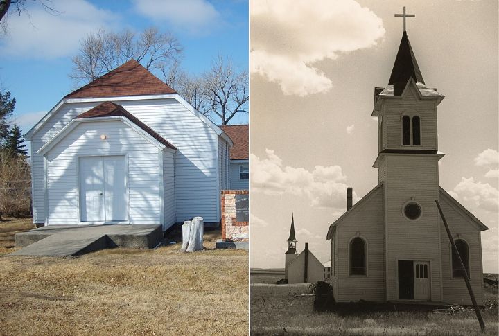
North Dakota drew Protestant Scandinavians and Germans. South Dakota saw an influx of Catholic and mixed-European settlers. These differences trickled into local laws, education, and community values. Over time, even faith-based differences helped cement a north-south divide that wouldn’t be smoothed over with compromise or shared prayer.
Presidential Politics Drove Timing
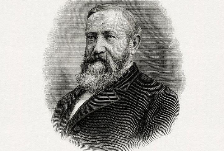
The split was written in the language of campaigns and power. President Benjamin Harrison didn’t just want more states; he wanted more votes. Admitting North and South Dakota gave him electoral clout, making the timing of statehood a carefully played move.
Land Surveying Mishaps Created Tension

Early surveyors misaligned townships and created legal chaos. Property lines overlapped, and some families were taxed by both sides. These bureaucratic blunders deepened existing frustrations and turned everyday landowners into accidental pawns in a political divide. The split was messy and full of paperwork problems.
Different Economic Foundations Took Hold
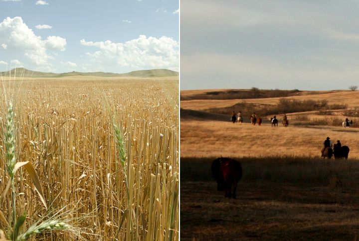
Up north, it was wheat fields and freight trains. Down south, it was ranching and federal contracts. Economic change didn’t stand alone; cultural change followed. The Dakotas were not just developing in different ways; they were becoming different places entirely, with diverging futures deeply ingrained in the soil.
Separate Constitutions Were Written In Secret
North and South Dakota didn’t collaborate on statehood documents. Each side drafted its own constitution in separate cities—Bismarck for the North and Sioux Falls for the South. No coordination, no joint review. The split was an intentional, quiet uncoupling at the foundation.